Inspiring Germany
Escape from the City: 12 hiking routes close to the city
German cities are exciting - no question about it. But how about a little change of scenery in between? Make the most of Germany’s cities’ proximity to numerous natural landscapes and head out into the countryside for a day - or more! Get to know Germany from a completely different perspective on a hike in the countryside surrounding its cities. And best of all: all suggested routes are accessible via public transport.
Hiking Routes in and around...
... Frankfurt:
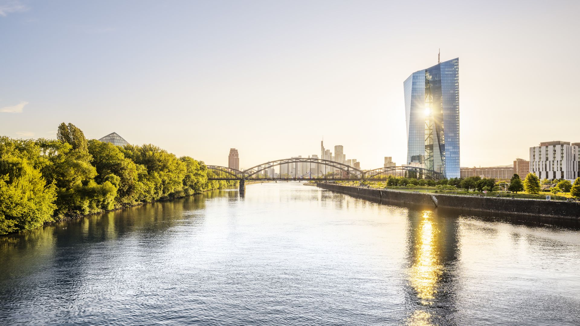
 Mainufer Frankfurt
©DZT (Dagmar Schwelle)
- Nibelungensteig
This hiking trail is a sporty challenge. In the Odenwald region, you'll cover 130 kilometers through valleys and over mountains, conquering 4,000 meters in altitude. Along the way, you'll pass by rock formations and castles, while enjoying panoramic views of the Rhine Valley.
Getting there by public transport: From Frankfurt Main Station, take RE60 to Zwingenberg (Bergstr.). The journey time is approximately 35 minutes. The starting point of this hiking route is just a short walk from the train station. - Spessartweg 1 - Princes, Carriers, and Pilgrims
Spessartweg 1 travels on a 59-kilometer path through the fairy-tale forests of the Spessart, following in the footsteps of Snow White and the seven dwarfs – passing rock formations, monasteries, and castles.
Getting there by public transport: From Frankfurt Main Station, take RE55 to Aschaffenburg Main Station, then Bus 43 to Fasanerie, Aschaffenburg. The journey time is approximately 2 hours. The starting point of this hiking route is just a short walk from the bus stop.
... Berlin:
- Burgenwanderweg, Fläming
Split into eight stages, this 147-kilometre circular trail leads through the gently rolling landscape of Fläming. Sandy paths lead you past four castles and through fields and heathland landscapes.
Getting there by public transport: From Berlin Main Station, take Regionalbahn R7 to Bad Belzig. The journey time is approximately 1 hour. The starting point of this hiking route is just a short walk from the Bad Belzig train station. - Oderlandweg
This diverse circular route, starting and ending in Wriezen, can be explored in three stages. It passes through water bodies, forests, meadows, fields, moors, and valleys, showcasing nature's rich diversity.
Getting there by public transport: From Berlin Main Station, take RE3 to Eberswalde Main Station, then RB60 to Wriezen. The journey time is approximately 1.5 hours. The starting point of this hiking route is just a short walk from the train station.
... Cologne:
- The Natursteig Sieg Trail
Follow the Sieg River, a naturally untouched tributary of the Rhine. The trail guides you to heights above the river, ensuring breathtaking views of the meandering Sieg.
Getting there by public transport: From Cologne Main Station, take RE9 to Siegburg/Bonn, then Bus 515 to Wolsdorf Jakobstr. The starting point of this hiking route is just a short walk from the bus stop. - The Bergisch Panorama Trail
On this 246-kilometer-long trail through the Bergisches Land, you'll frequently encounter water: countless small streams, rivers, and reservoirs await you. As the name suggests, you'll also enjoy stunning panoramic views.
Getting there by public transport: From Cologne Main Station, take RB25 to Ründeroth. The journey time is approximately 1 hour. The starting point is approximately an 11-minute walk from the station.
... Dresden:
- The Malerweg Trail
The Malerweg takes you into the enchanting landscape of Saxon Switzerland with its Elbe Sandstone Mountains Fit and sporty hikers might particularly enjoy the sections involving climbing iron ladders and passing through rock crevices here.
Getting there by public transport: From Dresden Main Station, take S1 to Pirna, then Busline G/L to Liebethaler Grund. The journey time is approximately 1 hour. The starting point of this hiking route is a short walk from the bus stop. - Kammweg (“Ridgeway”) Erzgebirge-Vogtland
The Kammweg trail leads you high up along the mountain, continuously ascending and descending. You'll ascend peaks like Geisingberg, Kahleberg, Schwartenberg, and Fichtelberg. In some areas, the nature remains almost completely untouched.
Getting there by public transport: From Dresden Main Station, take S1 or S2 to Heidenau, then RB72 to Geising. The journey takes about 70 to 90 minutes. The starting point of this hiking trail is at the Geising train station.
... Stuttgart:
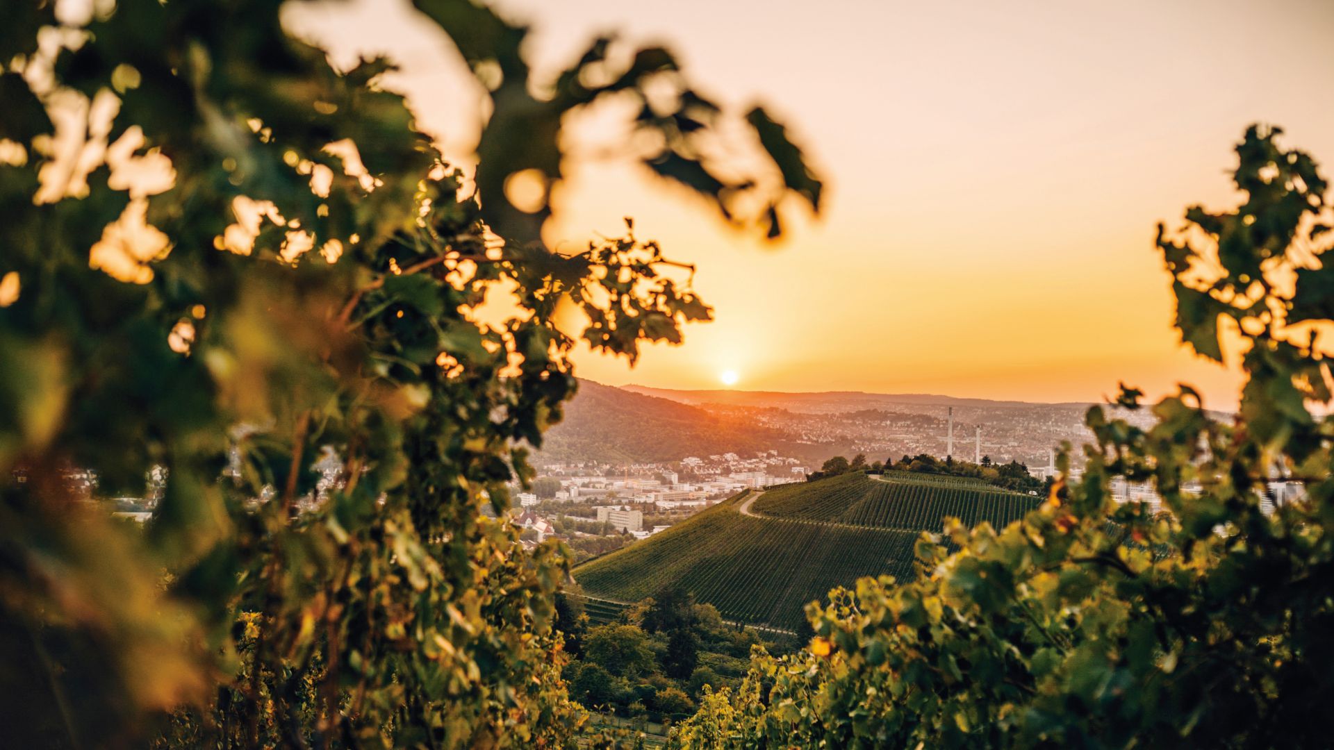
 Stuttgart: Vineyards above the city at sunrise
©sonne-wolken.de-globusliebe.com (Jana Zieseniß)
- Westweg
The Westweg (West trail) is a 288-kilometer-long high-altitude trail that runs right across the low mountain range of the Black Forest. Remote paths will lead you to high moors and lakes, through dense forests, and across mountain ridges.
Getting there by public transport: From Stuttgart Main Station, take IRE 1 to Pforzheim, then Busline 3, 666, or 41 to Kupferhammer. The journey time is approximately 45 minutes. The starting point of this hiking route is just a short walk from the bus stop. - Löwenpfad Berta Hörnle Tour
This hiking trail is one of the 16 circular routes "Löwenpfade" in the Göppingen district, each with its own story or legend. The 15-kilometer-long hiking trail with spectacular views into the foothills of the Swabian Alb owes its name to the Staufer princess Berta and the Hörnle mountain.
Getting there by public transport: From Stuttgart Main Station, take MEX 16 or RE5 to Göppingen, then Busline 920 to Ev. Akademie/Reha-Klinik, Bad Boll. The journey time is approximately 1 hour. The starting point of this hiking route is just a short walk from the bus stop.
... Munich:
- Albsteig/Swabian Alb North Ridge Trail (HW1)
The Swabian Alb-Nordrandweg leads you along the cliff edge and over the mountain ranges of the Swabian Alb. This presents a significant advantage: the panoramic view over the Alpine foothills, which has earned the trail the nickname the "Dream Balcony of the South."
Getting there by public transport: From Munich Main Station, take RB 87 to Donauwörth. The journey time is approximately 1.5 hours. The starting point is approximately a twelve-minute walk from the station. - Eichstätt Panorama Trail
Discover the Eichstätt Panorama Trail, which takes you 11.5 kilometers to the most beautiful views around the episcopal city. Past baroque buildings and the majestic Willibaldsburg Castle, you will experience both the impressive architecture and the surrounding nature.
Getting there by public transport: From Munich Main Station, take RB16 to Eichstätt. The journey takes around 1.5 hours. The starting point of the tour is directly at the station.